This post aims to give a curious reader a smattering of knowledge on the geography of the beautiful comarca Andalusa named Costa Tropical. It does not pretend to be an exhaustive and detailed study about each town or corner of Costa Tropical. We thought it would be nice to provide a key for understanding how the diverse territories of this comarca are named and where they are.
Before our visit to Costa Tropical in February 2023, we were very excited even if a bit confused about “where is what” in the coast of Granada. One of the main obstacles to our skills was to figure out, for instance, the distance of a town from the sea. We are not people grown up near the mountains, so we could not really imagine how long a road could be there. Besides this, even with Ari’s experience in matter of roads, he had not visited Costa Tropical to judge the condition of the roads.
So, “how far can town X be from the sea?” was our most frequently asked question. Yet, even when we visited there, it was not so simple to localize places on the map, and to remember the names of the areas where the towns belong, but our knowledge improved day after day, till we started to realize that we were missing something else.
Where is what?
Sierra Nevada, Sierra de la Contraviesa, Valle de Lecrín,… As soon as we approached Costa Tropical with the idea to clarify in our mind the geography of the place, we started to regret the time we wasted throwing paper made airplanes during the years spent in school! When we talked to Spanish people, they were referring to specific geographical areas. We knew the names of mountains and other regions, but were not ready to say: I know where it is on the map! We had a new, intriguing, challenge in front of us: learning more, and we did it.
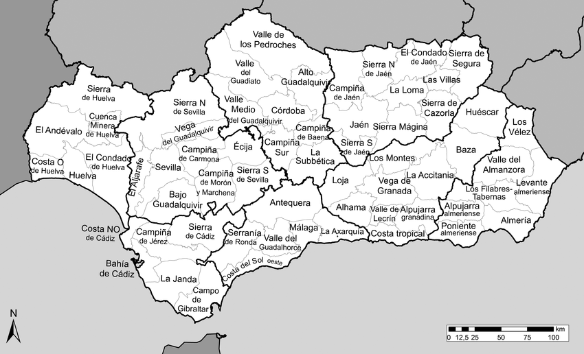
In Costa Tropical, it seems quite important to be able to localize the towns in the geographical specific area they belong to. For example, if you talk about Sorvilán, someone will tell you that it is in the Sierra de la Contraviesa.
For this reason, we would like to help our readers – those who were also throwing airplanes in school – to localize Costa Tropical, its main towns, and the areas (which have names).
First things first. How to reach Costa Tropical?
Three international airports serve Costa Tropical: in the West, Málaga, in the East side, Almería, and in the North, Granada. We flew to Málaga only for now, and it was quite a good experience. The easiest way to reach the coast of Granada seemed to us to rent a car. The main roads, N340 and A7 offer a safe connection and beautiful views. And yes, Costa Tropical lacks railways.
Where is Costa Tropical?
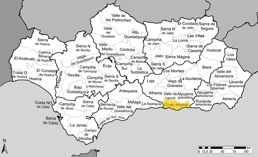
It is an area (comarca) of Andalusia, and, in the map below, it can be spotted in yellow color between the provinces of Málaga and Almería.
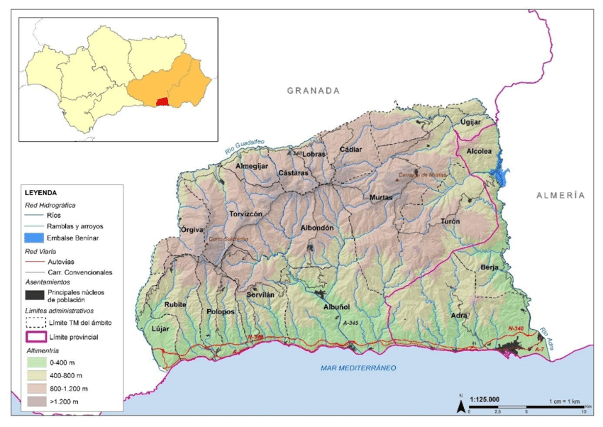
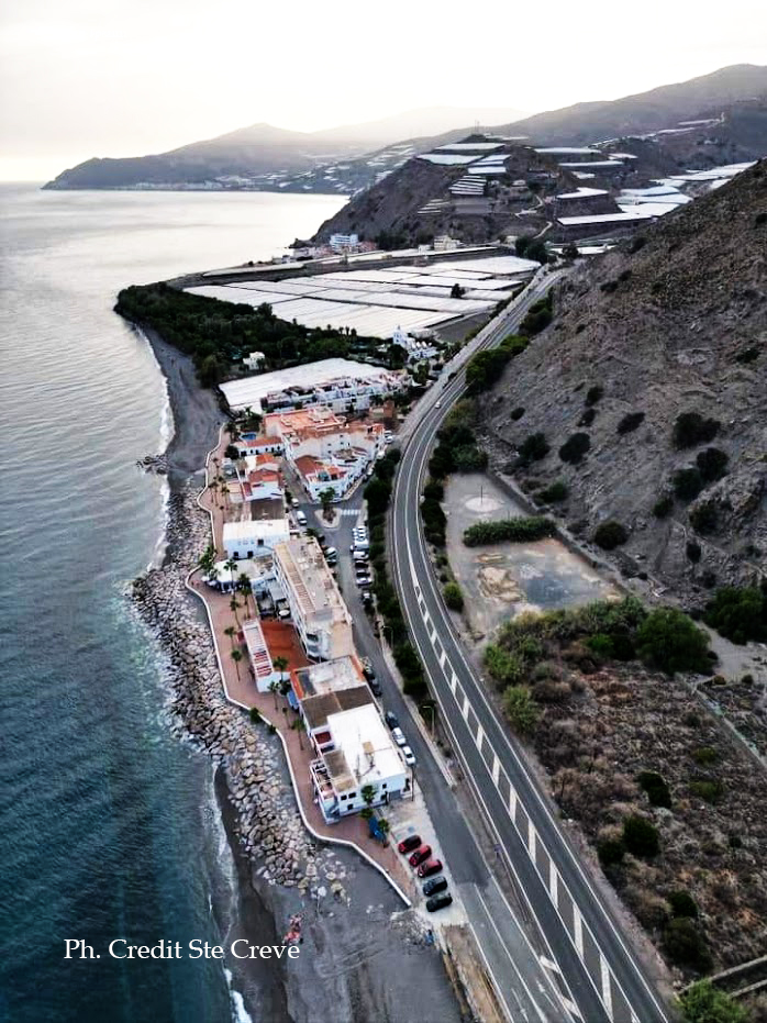
The most Western village of Costa Tropical is La Herradura, belonging to the municipality of Almuñécar, and the most Eastern village is la Rábita, belonging to Albuñol. Between La Herradura and la Rabita there are about 70 km of coastal sea views.
The Northern part of Costa Tropical is comprised between Lentejì, in the West, and Albondón, in the East. From a touristic point of view, the comarcal borders of Costa Tropical are extremely interesting in every direction.
In the Northern border is located the Valle de Lecrín slightly on the North of Vélez de Benaudalla. Starting from the border with the Valle de Lecrín and moving towards East, the Alpujarra Granadina decreases into the Sierra del Contraviesa (the area of Costa Tropical including Albondón, Albuñol, Sorvilán).
Costa Tropical shares the Western border with the comarca of Axarquia, the Eastern part of the province of Malaga. We recommend to give a look to the beautiful Facebook page Yo amo la Axarquía to enjoy interesting photos of hidden spots of this comarca malagueña.
In the Eastern border of the Costa granadina is located the province of Almería, and more precisely, la Alpujarra Almeriense and el Poniente Almeriense.
Towns belonging to Costa Tropical
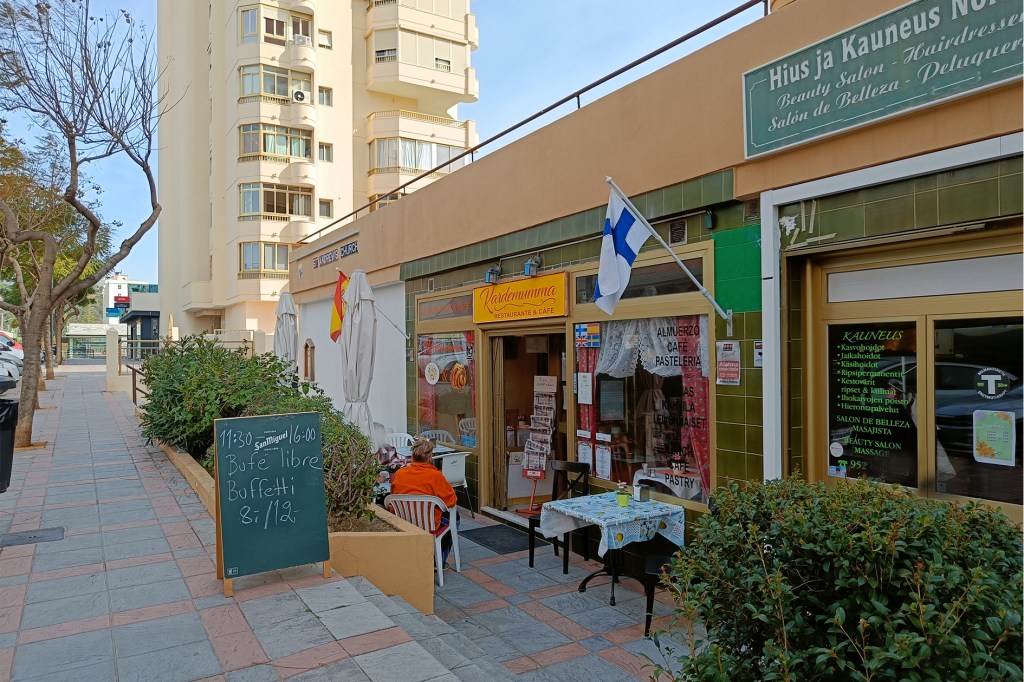
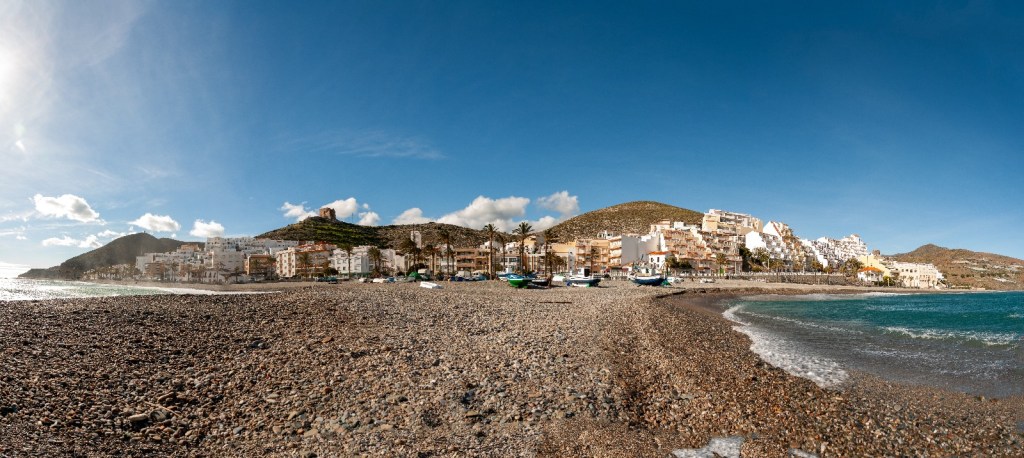
Fianlly, to resume the towns belonging to Costa Tropical are: Albondón, Albuñol, Almuñécar, Gualchos–Castell de Ferro, Ítrabo, Jete, Lentegí, Los Guájares, Lújar, Molvízar, Motril, Murtas, Otívar, Polopos–La Mamola, Rubite, Salobreña, Sorvilán, Torrenueva Costa, Turón, Vélez de Benaudalla.

Conclusions
As mentioned in the beginning of the post, we wanted to provide a quick and easy read about the main geographical references of Costa Tropical. In the future, we would like to address the topic focusing one by one on the towns, exploring in more details their peculiarities.
Acknowledgements
We would like to thank the members and administrator of Facebook Group Costa Tropical Local Info Group for being, first of all, a beautiful example of
social media community. Thank you for supplying the pictures we used in this
page and in some other pages of this website/blog. In particular, credits for
most of the photos we are using for the launching of this website go to:
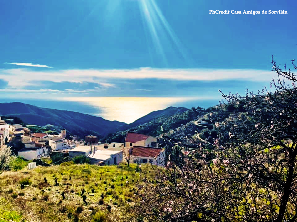
Michael Shaw, Mariano Prieto Delgado, Sarah King, Jackie Noy, Casa Amigos de Sorvilán, Lonneke van Raijsvijk, Bernand Vandekeere,
Anne Clifford, Tuula Salo, Tony Pennell, Cre Steve, Gary Solter, Soor Roos, Dominik Menk, Pete Short, Eliza Bobtail
Dolittle, Michael Schwed, Jayne
If you liked what you read and want to stay updated with our once-a-week post, subscribe! It is for free 🙂


Leave a comment